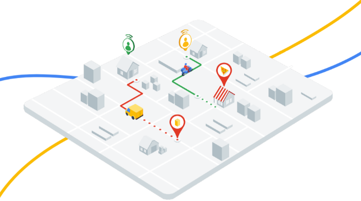
The OpenStreetMap project aggregates community-provided map data for free use. The geodata underlying the map is extremely useful and can be used in various ways. There are many interesting questions we can explore using this data in conjunction with collection of geotagged photos as input. The two problems we decided to tackle were:
1. Given a set of geotagged photos, what interesting places should we expect to see?
2. We suspect that restaurants, fast foods, and cafe chains are populated towards certain areas of the Greater Vancouver area. Is there a meaningful distinction between the locations of the franchised stores versus non-franchised stores?
- PlatformWindows/macOS/Linux
- StackPython, numpy, pandas, scikit-learn
- StatusComplete